The Serre of Rimbaud
LAGORCE
The Serre of Rimbaud
Medium
5h
15,4km
+465m
-465m
Loop
PR
Embed this item to access it offline
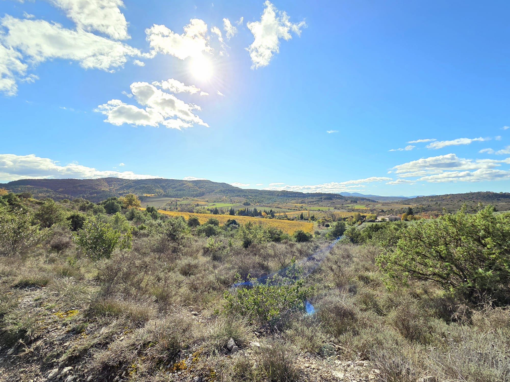
From the hamlet of Leyris, a land of crops and livestock, the walk leads to the village of Balazuc and then on to the Rimbaud ridges, offering remarkable panoramic views of the Ardèche mountains, the volcanic Coiron massif and the Vercors.
Description
- From the Info Rando sign at the entrance to the hamlet, cross it, passing successively through the Hameau de Leyris and Leyris junctions. Follow Chaussy St-Maurice-d'Ardèche. At the end of the plateau, take the left-hand path.
- Go downhill and cross the D1 road, then continue along a dirt track alongside the vineyards. You will come to a tarmac road and, just after the entrance to a campsite, turn right onto a dirt track in the middle of the vineyard until you reach the Chaussy crossroads.
- Follow signs for Balazuc for 4.3 km. Just before the viaduct, turn left onto a track that climbs up to the La Via Ardèche greenway and joins the Chalouzet junction. Follow signs for Serre Bouchet for 2.5 km and Balazuc for 3 km.
- You will arrive at the Mourre-frais junction. Follow signs for Balazuc for 1.8 km. Cross the D579 road and follow it in the opposite direction to the traffic. At the next junction, turn left onto a tarmac road. After 200 m, take the dirt track opposite, then a path that leads to a tarmac road further up. Continue straight ahead; the path becomes a trail and joins a tarmac road as you approach some houses.
- Turn right, then left, following a path along the edge of the cliffs. At the next junction, turn left and climb up a stony path to the Portalas junction.
- Follow Serre Bouchet for 4 km. Descend through the narrow streets, passing by the old church square and the summer tower. At the village exit, turn right onto an uphill path. At the next crossroads, continue straight ahead, first on a paved road, then on a dirt road, and finally on a path that leads to the entrance of a wood. Turn left onto a path that climbs through the woods. Walk along an old quarry, then follow a dirt track to the hamlet of Les Louanes. Climb up through the hamlet and follow a dirt track. Cross a tarmac road, then the D579 departmental road to reach the Viaduc junction. Follow signs for Serre Bouchet for 0.3 km and Balazuc for 3.4 km.
- Pass under the viaduct, then follow a wall to the Serre Bouchet crossroads. Follow signs for Hameau de Leyris 4.7 km Lagorce 9.6 km Until you reach the hamlet of Leyris, the trail crosses several horse paddocks. Make sure you close the paddock gates behind you. The trail rejoins the ridge at the Serre de Rimbaud junction.
- Follow Hameau de Leyris 2.8 km Rochecolombe 5 km The trail follows the ridge to its northern end, offering remarkable panoramic views. Descend a steep slope to a reservoir, then follow a wide carriage road. At the barrier, continue straight ahead, cross the D1 departmental road and follow the road to the hamlet of Leyris.
- Departure : Hamlet of Leyris in Lagorce
- Arrival : Hamlet of Leyris in Lagorce
- Towns crossed : LAGORCE, ROCHECOLOMBE, SAINT-MAURICE-D'ARDECHE, and BALAZUC
Forecast
Altimetric profile
Information desks

9 rue Alphonse Daudet, 07120 Ruoms

52 Rue Grande Rue, 07200 Vogüé
Access and parking
Parking :
Chemin de Leyris, next to the rubbish bins
Report a problem or an error
If you have found an error on this page or if you have noticed any problems during your hike, please report them to us here: